
Parcel 32-1S-23-0000-0001-0030
Owners
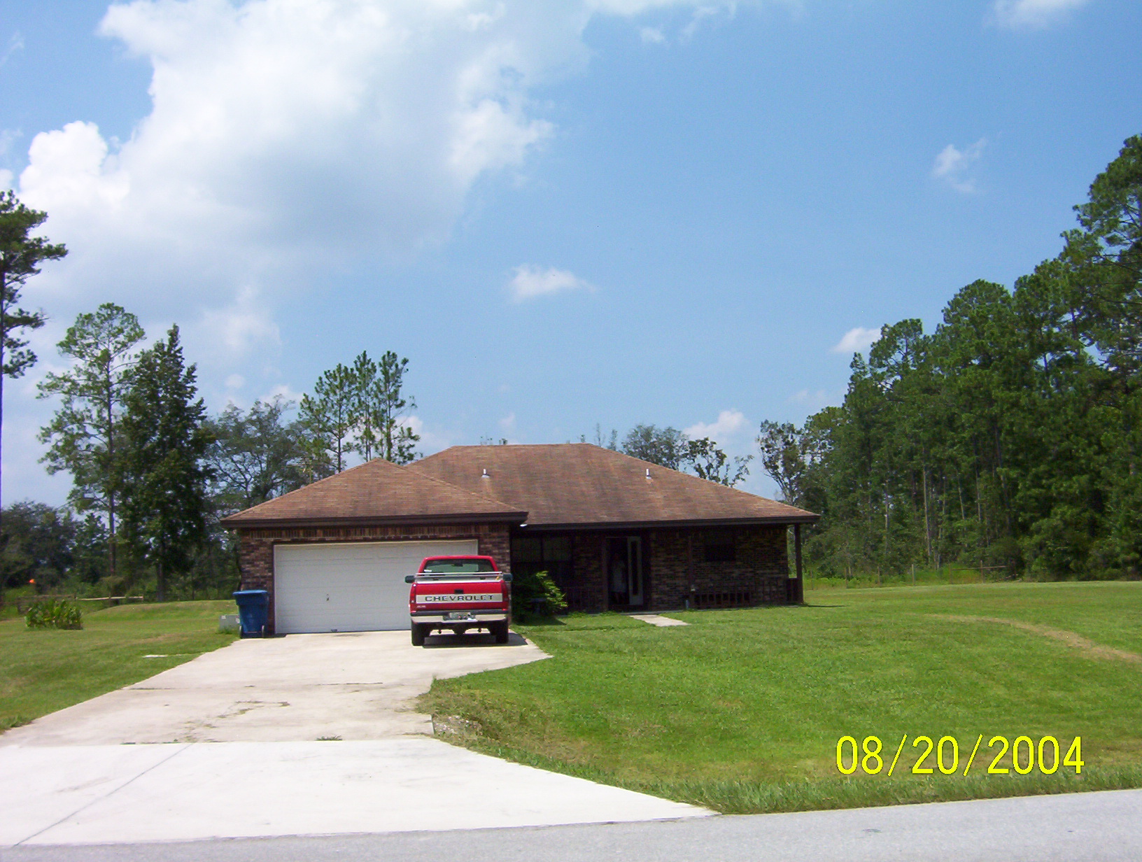
7514 CR 121
BRYCEVILLE, FL 32009
Parcel Summary
| Situs Address | 7514 CR 121 |
|---|---|
| Use Code | 0100: SINGLE FAMILY |
| Tax District | 6: Drainage Dist |
| Acreage | 1.0000 |
| Section | 32 |
| Township | 1S |
| Range | 23 |
| Subdivision | |
| Exemptions | None |
Short Legal
PT OF GOVT LOT 1IN OR 2584/1750
Certified Values
| STANDARD | 2024 |
|---|---|
| Land Value | $30,000 |
| (+) Improved Value | $225,095 |
| (=) Market Value | $255,095 |
| (-) Agricultural Classification | $0 |
| (=) Assessed Value | $255,095 |
| (=) County Taxable Value | $255,095 |
Document/Transfer/Sales History
| Instrument / Official Record | Date | Q/U | V/I | Sale Price | Ownership |
|---|---|---|---|---|---|
| WD 2584/1750 | 2022-08-16 | Q | Improved | $325,000 | Grantor: STRAND JANET Grantee: JOHNSON BENITA EVETTE |
| SW 2487/1592 | 2021-08-12 | U | Improved | $203,000 | Grantor: FEDERAL NATIONAL MTG ASSOC Grantee: STRAND JANET & RICKEY |
| CT 2438/0959 | 2021-02-18 | U | Improved | $100 | Grantor: CLERK OF COURT Grantee: FEDERAL NATIONAL MORTGAGE ASSOCIATION |
| WD 0686/1459 | 1993-08-18 | Q | Vacant | $100 | Grantor: LANE MABEL F Grantee: SHAW MANNON & MARY L |
Buildings
Building # 1, Section # 1, 210889, RESIDENTIAL
| Heated Sq Ft | Year Built | Value |
|---|---|---|
| 1393 | 1993 | $230,420 |
Extra Features
Land Lines
Personal Property
None
TRIM Notices
Property Record Cards
Disclaimer
The Nassau County Property Appraiser's Office makes every effort to produce the most accurate information possible. No warranties, expressed or implied, are provided for the data herein, its use or interpretation. The information contained herein is for ad valorem tax assessment purposes only. The Property Appraiser exercises strict auditing procedures to ensure validity of any transaction received and posted by this office but cannot be responsible for errors or omissions in the information received from external sources. Due to the elapsed time between transactions in the marketplace, and the time that those transactions are received from the public and/or other jurisdictions, some transactions will not be reflected.